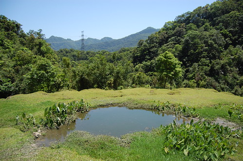
For this four day weekend we had originally planned to hike some of the bigger mountains of Taiwan but getting a permit proved difficult and so we settled on going to Jia Luo lake in Yilan.
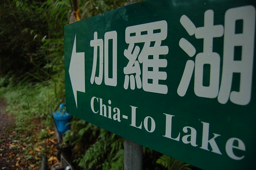
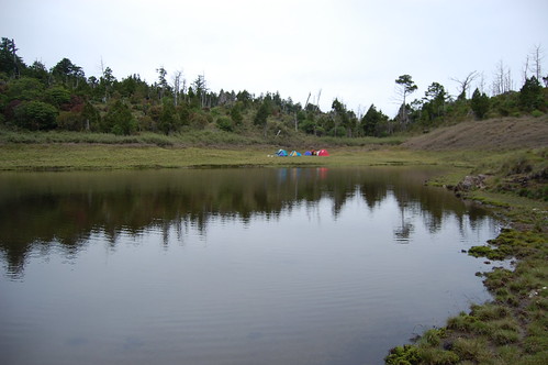
Jialuo Lake actually isn't one lake but a group of around 10-20 lakes (depending on how much rain there's been) and Jialuo is the largest and probably the most impressive of them all. At around 2300m, it's a great cool get away from the summer heat of Taipei.
Unfortunately for those without their own transport, there's only one way to get there and that's to drive. We went to Yilan first and then followed the number 7甲 towards Wuling farm. At the village of Siji 四季 we turned left and followed the road up. It's a rough, rough road! And if you are in a car, you can only go so far up before hitting a barrier.

From there it's perhaps a 4km walk up the forestry road to the trailhead. However, motorbikes can go a little further up but be careful! In places the road is nothing but mud and loose rock.
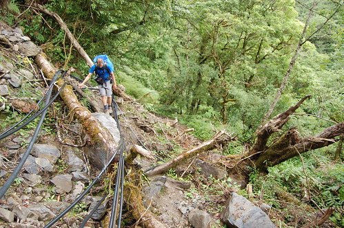
The furthest point you can get to is the abandon forestry building. Just after here there are several small landslides that have wiped out the road but it is still passable by foot.
The furthest point you can get to is the abandon forestry building. Just after here there are several small landslides that have wiped out the road but it is still passable by foot.

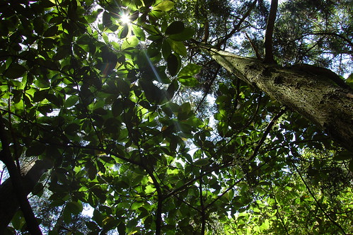
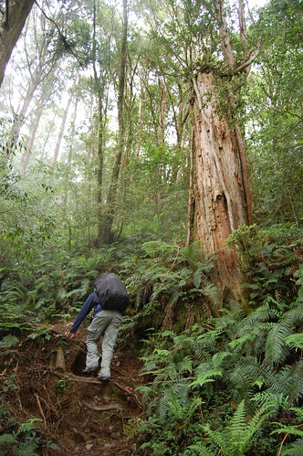
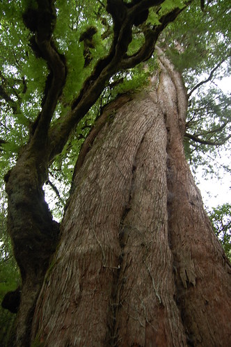
About 1km after the abandoned building, we got to the trail head proper. Just next to it is a huge and very impressive tree. No idea how old it is but I should imagine that it's at least a thousand years old.
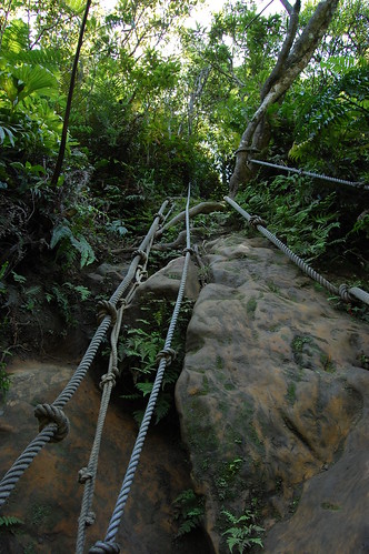
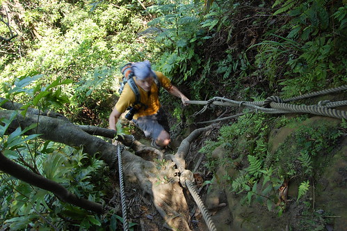
At this point the trail no longer follows the forestry road but instead goes directly up the mountain, very steeply! At several points on the trail we met back up with what would have been the road but the trail always continued steeply up.

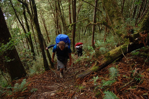
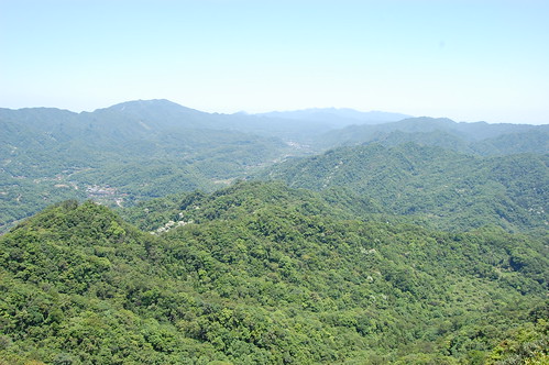
On the way up it rained lightly and there were low lying clouds that shrouded the forest making it look particularly beautiful. After a while we seemed to get above the clouds (or the clouds went further down) and we got some partial views of the valley below and a sea of clouds sitting above it.

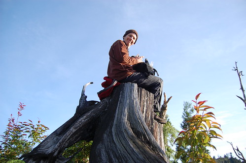
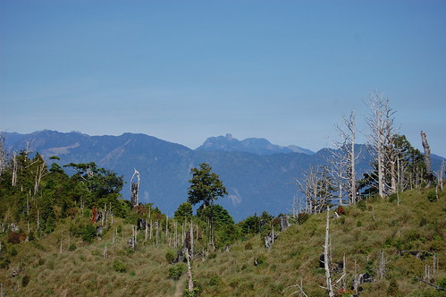
About 3 sweaty hours later, we got to the top of the mountain and the trail flattened out. This is the lake area and surrounding the hillside are row upon row of dead white trees. An amazing sight.

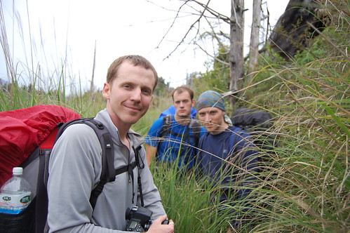
From here we walked through a lot of awn grass and went past a few small lakes.
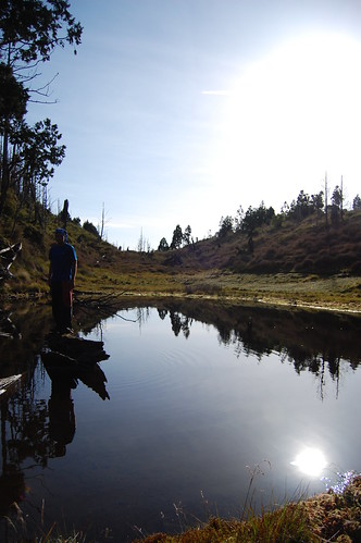
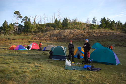
About 30mins later we arrived at the lake and set up camp. There were a few other groups there but still we had plenty of space.

As the sun started to set we headed off up the mountain to find a spot to get some photos. Running out of time to get back before it got dark, we had to head directly through the forest back to the lake, which was hard work but a lot of fun.

After we got back we cooked up some food. Normally when we go camping/hiking, we take the "boil in bag" meals but this first we made hot-pot and it was definitely a good idea. It got pretty cold at night and some hot soup was just right.
We were expecting the temperature to drop to about 10C at night but suddenly the clouds that had been around all day disappeared and it got down to below zero! A big surprise for everyone! I recently bought a down feather sleeping bag and so I was nice and toasty while everyone else complained about the cold.
We were expecting the temperature to drop to about 10C at night but suddenly the clouds that had been around all day disappeared and it got down to below zero! A big surprise for everyone! I recently bought a down feather sleeping bag and so I was nice and toasty while everyone else complained about the cold.


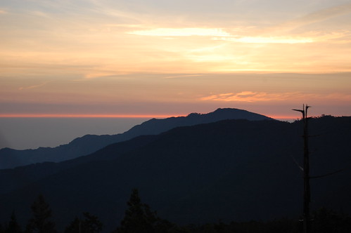
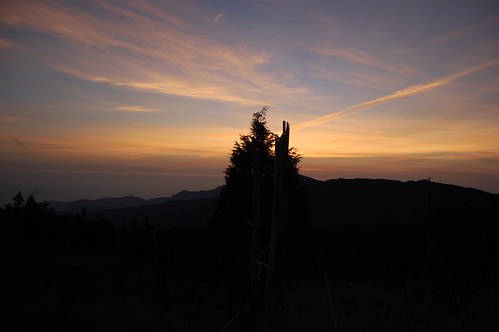
We had an early night as we wanted to get up at 4.30am to see the sunrise. When my alarm went off, I was considering giving it a miss but I'm glad I managed to drag myself up the hill to see it.
After that it was just a case of breakfast and a slow hike down the mountain. Because of the rain and cloud on the previous day we hadn't noticed it but on the way back we could see Snow mountain and we could even make out Dabajian mountain!

Practicalities
Definitely one for driving to and getting there early. There isn't much room for parking at the barrier and so if you go in a car and arrive too late you'll have to park even further down the hill and walk up the road.
The rain didn't really bother us at all. It made the trail a little bit slippy but not to the point of being particularly dangerous.
The lake water can be drank if boiled first. Watch out for giant tadpoles!
A map can be found here and more pics here
Phil's Chinese account is here and Neil's great multimedia presentation is here
Definitely one for driving to and getting there early. There isn't much room for parking at the barrier and so if you go in a car and arrive too late you'll have to park even further down the hill and walk up the road.
The rain didn't really bother us at all. It made the trail a little bit slippy but not to the point of being particularly dangerous.
The lake water can be drank if boiled first. Watch out for giant tadpoles!
A map can be found here and more pics here
Phil's Chinese account is here and Neil's great multimedia presentation is here