Showing posts with label taipei county. Show all posts

Sunday, 3 May 2009

Xinshan - 新山


This is a nice little ridge hike just a bit north of Xizhi 汐止. I had the afternoon off the other week but unfortunately no one else did. However rather sitting around on me own I decided I would just go out for a drive/hike anyway.


I had a look at "Taipei Day Trips 1" and chose Xinshan 新山.


Finding it was relatively easy. The main road through Xizhi is Datong Road 大同路. Just head east on that. Keep your eyes open and look for a road on the left that leads to a large bridge. Cross the bridge and keep on heading north. It's signposted from there, if you can read Chinese that is!

There are two places to park. Both are obvious. The furthermost parking area is right next to the lake but I'd recommend starting at the first one.
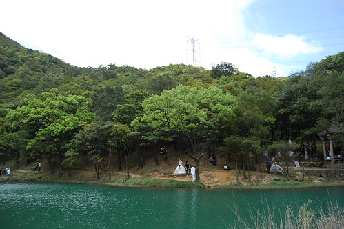

The lake is actually very nice and I was surprised by its size. Yet more surprising were the four pairs of brides and grooms having their wedding photos taken there. There's a cafe by the lake which isn't really in keeping with the natural beauty of the place. It's nice enough but i didn't bother to stop as no doubt the prices are astronomical and the coffee shite.
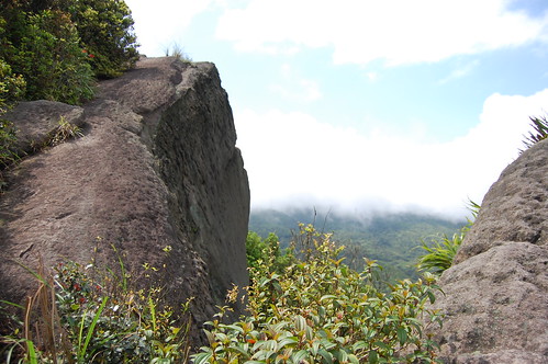

The trail starts to the right of the lake and is well marked. I walked up for a bit and came a cross a couple of electricity pylons which afforded good but spoilt views of the surrounding countryside.

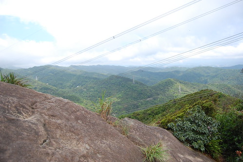

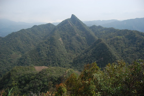
Passing the last pylon and heading up to the left gets you onto the ridge. It's similar to most of the ridges around Taipei with parts on top of the ridge and parts that follow next to it.
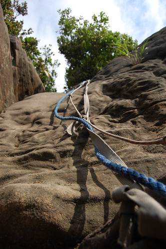
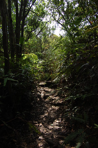

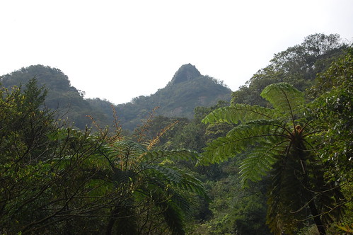
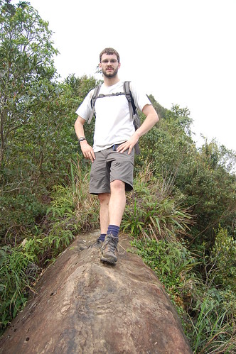
Care is needed in a few places but mostly there is nothing technical about the walk. The views from the ridge are great and there are plenty of places to sit, dangle your legs over the side and just enjoy the scenery.
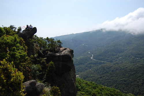


After following the ridge for about 30 minutes it descends back to the lake and in total it took me about an hour and a half. The trail is very easy to follow and judging by the number people there, very popular.

For more photos have a look here

Practicalities

Transport, as ever I drove but according to Taipei Day Trips 1 you can take the bus or train out to Xizhi and then catch another bus towards the trail. It won't take you to the trailhead but the road leading up from the bus stop is pleasant enough.

Apart from the cafe there isn't anywhere to get anything to eat or drink by the trail so it's best to buy your supplies beforehand.

Saturday, 14 February 2009

Fengtoujian - 峰頭尖


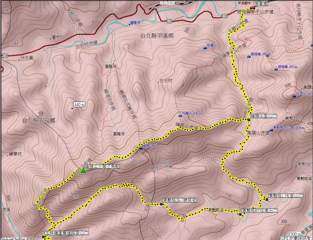
The last time I was hiking in Pingxi, I went to Xiaozishan 孝子山 and Cimushan 慈母山. I had read in a friend's copy of Taipei day trips 2 that in addition to these two peaks, there is an excellent ridge hike called Fengtoujian 峰頭尖 and so we decided to give it a go. Unfortunately Taipei Day Trips 2 is no longer available and so we had to rely on a map I found to guide us.


The trail starts pretty much opposite to the Elementary school in Pingxi 坪溪 and is relatively easy to find. If you come from Taipei on the 106, as you cross the bridge to enter Pingxi, there's a brown sign pointing to the right for Fengtoujian but it's better to start further down. Keep going for 800m or so and the entrance is on the right.


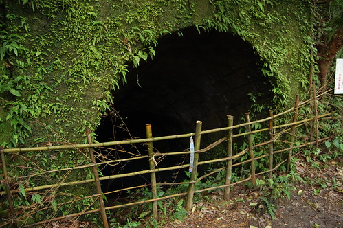
From here the trail goes up some stairs and past a house. We ignored the path to the left and kept going through some small farms. The trail then begins to follow a river which we crossed over onto a footpath that looks like it is an old rail line. Back in the day, Pingxi was an important coal mining area and there are still plenty of remnants left, such as the old buildings and tunnel below.


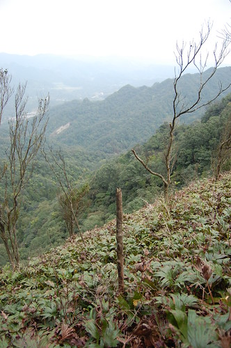
After the tunnel the hike begins to ascend properly. There are some signs and map boards on the way and so it's pretty easy to follow the trail. At the next map board, head up to the right. It starts to get more difficult at this point with lots of fixed ropes and very slippy rocks. Near the top of the ridge, the trail bends to the left and at this point you can climb up to the right to get a view of the valley. However, on the other side there is a sheer drop of about 100m so care is needed.


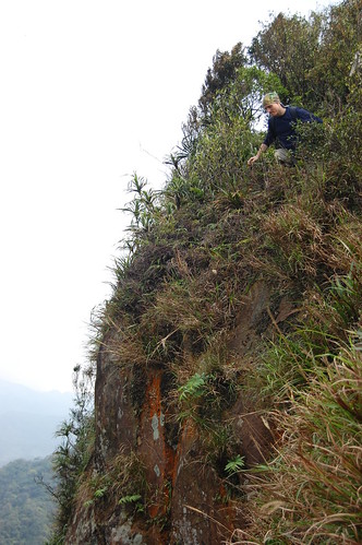
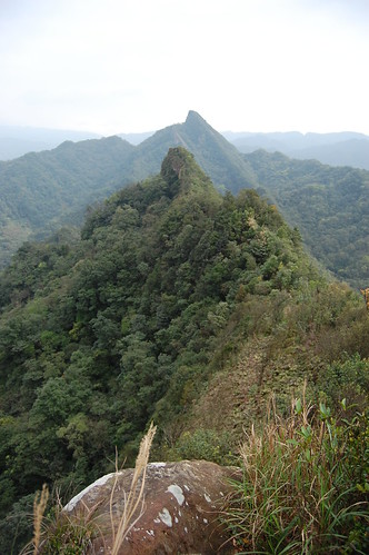
The actual ridge itself is precarious to say the least. In parts it is no more than a foot wide with sheer drops to either side. This is definitely not a hike to do on a windy or rainy day. However, despite the danger it is still an exhilarating walk and exciting walk.


Roughly halfway along the ridge there's a trail to the right which leads back to beginning. However we continued on, wanting to make it the trig point of Fengtoujian. The ridge has several small peaks along the way and altogether it took about three hours to get to the end.


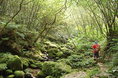
About 100m before the trig point there is a trail on the right which follows what looks like a dry(a loose term) river down, it's really slippy and the rocks are all covered in moss so care is needed. We headed down here back towards the 106 and the bridge that leads into Pingxi. Near the end, this trail meets up with a small stream and there are loads of really great looking swimming holes that would make an excellent place to cool off in the summer.

Eventually the trail passes by a farm and ends up on a road. Follow the road and take a right at the bottom. The beginning of the trail is about 800m further down the road.


Last week was the lantern festival and Pingxi is the centre of those celebrations. It's a great festival to attend as you can also participate by setting off your own lantern. Unfortunately most of the lanterns seem to have landed in the surrounding mountains!


For more photos, have a look here

Neil Wade's account of the trip

Practicalities

I always drive, partly for the convenience but mostly because after hiking for four hours, I'm such a mess that it would rude of me to use public transport. However, if that's not an option, Pingxi can be reached by rail or bus.

This is definitely one for a dry day. The ridge would be too dangerous otherwise. Also, long pants are better than shorts as the tree branches and plants take a toll on exposed arms and legs.

A fairly good map can be found here map