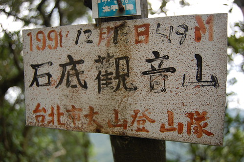
 This is a tough, tough hike, especially in the heat of the summer. We decided to head here after reading Richard Saunder's article about the source of the Keelung river in the China Post. It sounded interesting and I found a map with a circular route we could follow up to the peak of Shidi Guan Yin Mountain 石底觀音山 and back down to the 106.
To get there we follow the 106 from Taipei towards Pingxi 平溪. After a while there is a hairpin bend with a small tunnel on the apex of the bend. Go past this and then through a small tunnel. After this, look on the left for a turn off that leads up to a temple. There's a sign in English and Chinese but you'll need the eyes of a hawk to spot it!
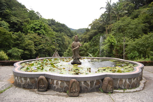
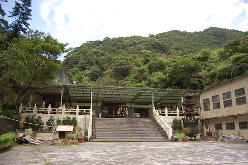
We drove up to the temple from the 106. The source of the Keelung river is to the left and behind the temple. It's a nice spot but a little underwhelming. We tried to find the trail up from the source but couldn't and so we headed back towards the temple.

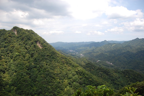
 On the way down we noticed a bunch of hiking tags on the right hand side (don't know how we didn't spot them on the way up!) and this is the trail that Richard Saunders followed down so we headed up it. Man, it's steep! And definitely one for a dry day. After a sweaty, hour long climb we got to the peak which has some nice views of the surrounding valleys.
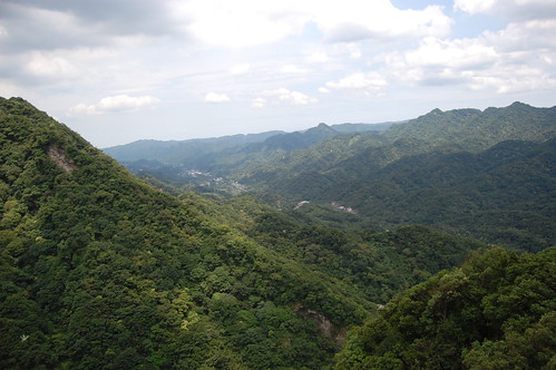
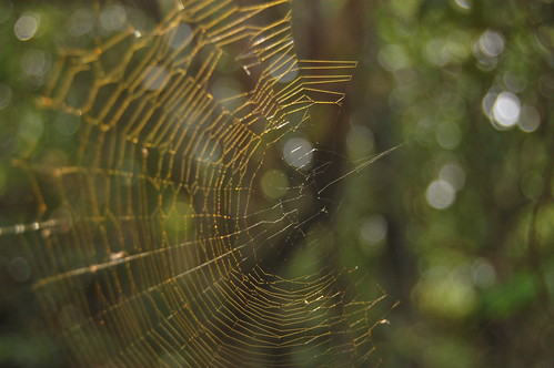
From here we headed down towards Er Kong Gui Mountain 耳空龜山. Then disaster struck!!!!! I stupidly didn't zip my camera up into the bag properly. It fell out of the bag and went tumbling down the mountain. Bugger. I climbed down after it and found the lens was destroyed. Still nothing could be done so we cracked on.
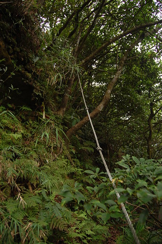
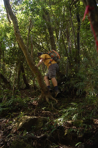
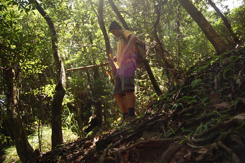
The trail down was really hard. Loads of ropes and near vertical sections. We walked for what seemed like ages but was actually only an hour before we got a fork in the trail. Hiking in the summer in Taiwan often feels like self inflicted punishment!

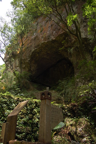
At the fork here we turned right and headed down towards the number one pit 一坑. We passed a large rock and then met up with a small stream. We followed this down, passing a couple of nice pools and eventually came out onto the 106.
On the opposite side of the road there's a small cafe and so we stopped for some mango shaved ice before following the road back to the temple.
Practicalities
The climbing on this trail in pretty hard. Take care and don't do it in the rain.
There's nowhere for food or water and so you need to bring it.
There are buses that run from Mucha out to Pingxi but I don't know if they stop near the turn off the Yuanming Zen Temple 圓明禪寺.
A rough map of the area can be found here at Tony Huang's blog.


Shidi Guan Yin Mountain is really good..And nice photography as well..
ReplyDeleteThank you very much...
___________________
Andrew
#1 Satellite Television Service Provider
Thanks for the comments Andrew. Unfortunately Shidi guanyin shan was the end of my camera!
ReplyDelete