Showing posts with label 台北. Show all posts

Tuesday, 28 July 2009

The Four Beasts and others - 四獸山

The Four Beasts 四獸山 are four small mountains in the Xinyi district that overlook Taipei city and Taipei 101. Separately they're called Elephant, Leopard, Lion and Tiger mountain (象山、豹山、獅山、虎山). Rising up further and behind the beasts are the peaks of Nangang mountain and Jiuwufeng.
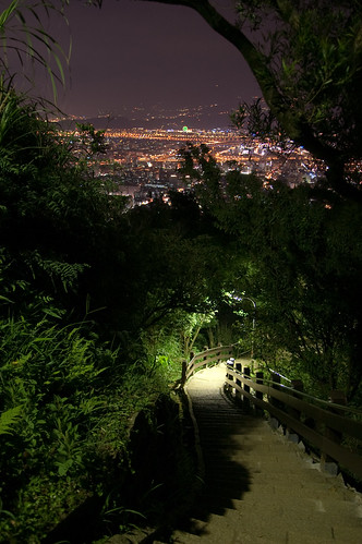


A lot of the trails here are lit at night and so lots of people come, especially to Elephant mountain, to get a great view of the fantastic night scenery. Neil Wade and myself went up Juiwufeng a while ago and again last week and the views are something that you can never get tired of.

Previously I've always driven up to a certain point and then walked up from there but this time I wanted to start at the bottom and work my up, across the ridge and back down via Elehpant.

I started on Fude street 福德街 next to the Fengtian temple 奉天宮. To get there you can walk from Houshanpi MRT station exit 2 down Dadao road 大道路. At the bottom there is a T junction and a 7-11 on the left. Turn towards the 7-11 and walk past it, taking the next right down Fude Street's lane 221 . The temple is on the right.
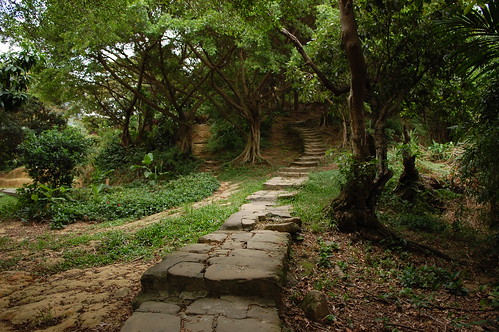

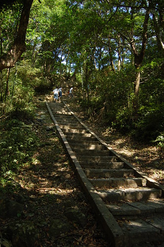
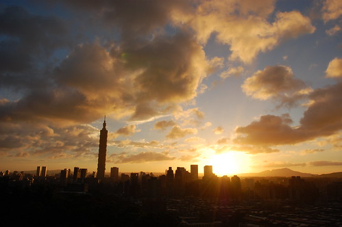
Walking past the temple, look out for a circular gate on the left, Go through this and then straight up the stairs. This is the beginning of the trail. At the top of the stairs, the trail follows the edge of a cliff up to a spot called the Longdong rock (I think.... the name needs confirmation!). This is one of my favourite spots to watch the sunset over Taipei. On a good day, you can see the Grand Hotel, Gunayin mountain, Yangmingshan........ it really is spectacular and only takes 15 minutes to get to.
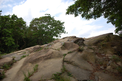
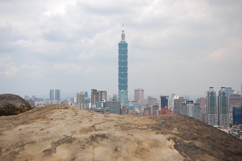

Following the trail up from here leads to a small viewing platform/shelter and a jungle gym. Taiwanese people seem to love going up into the mountains to do their pull ups and practice the hula hoop!


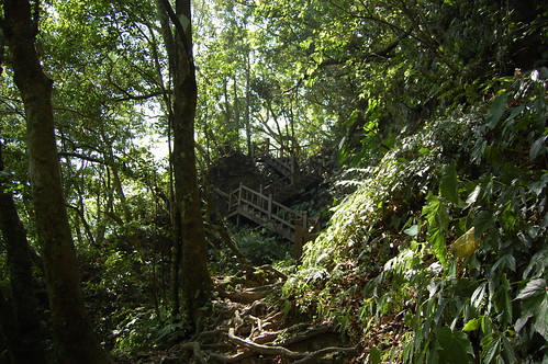
Tiger mountain is close now, follow the signs and pass by a rickety, homemade staircase with a VIP red carpet and you're there.


I walked down off tiger to the road behind it and then made a left. I then went straight at a T-junction and turned right to go to the Zhongyi Temple 忠義宮. Walking up past the temple, I came to a new but old-looking gate and turned right to go through it.


It's difficult to explain which way to go from here as there are so many trails. Just try to head up and towards the mountains and you'll get there!
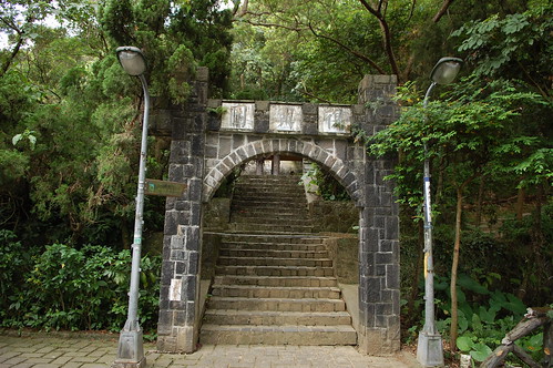


After about 20 mins, you should get to the next turn off on the left. It isn't signed posted but it is just before a shelter and it doesn't have any paving, just rock, mud and a couple of hiking tags. Just before I started to head up, a woman came running over telling me how dangerous this route was and that I shouldn't go on. I told I'd be fine and went ahead anyway thinking that it couldn't be that bad!
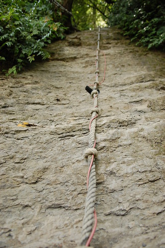


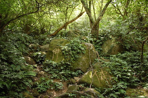
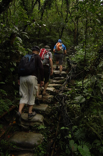
The trail goes steeply up at this point. You need to clamber over boulders and avoid the enormous spiders on route. After fifteen sweaty, tiring minutes, I arrived at the bottom of a cliff. This part is very difficult and really it's more like rock climbing than hiking. Above is a 40m high cliff with ropes attached. It is really scary! I had come here on my own and if no-one else was there, I think I might well have turned around! But seeing a 12 year girl march straight up to the ropes and start pulling herself up, I felt like I had to do it.
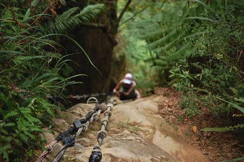
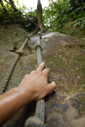

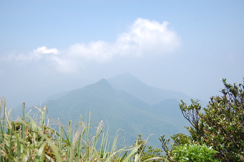
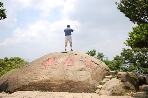
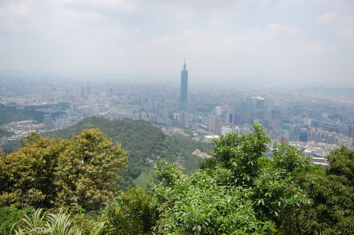
Not many pictures of the climb unfortunately. I was too busy fearfully gripping the ropes to stop and get my camera out! Maybe next time I'll take a smaller camera. At the very top, I scrambled over a metal fence and kissed the ground. I had made it! To the right is Jiuwufeng peak and after that comes the slightly smaller Nangang mountain. Jiuwufeng has awesome views of the Taipei basin and even though the weather wasn't perfect, I thought it still looked fantastic.


From Nangang mountain, I turned back the way I had come and then took the next left. Immediately after turning, I headed down to the right to a small roped section, with some crazy, unsteady ladders.


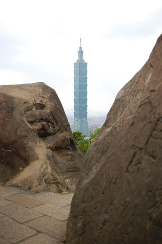
From here the trail is again really difficult to explain. Best just to follow the sounds of KTV and head downwards. There are lots of trails and I suspect they all lead pretty much the same way. After a while I got to the Sishou trail and I followed this to elephant mountain. Just after elephant is Thumb rock, a small collection of rocks with a wonderful view of Taipei 101.

By this point the clouds were really starting to roll in and I needed to get down before a storm broke out. I headed down and managed to just make back before all hell broke loose with lightening and huge amounts of rain.

Photos are here and here

Neil Wade has accounts of his trips and great photos here

Practicalities

The trails up on the four beasts are nearly all paved and easy to follow. However the roped section leading up to Jiuwufeng is very, very difficult and should only be done on a dry day.

Water and everything you need can be bought at the 7-11 on Fude Street at the start.

Information on buses can be found here.

Sunday, 28 June 2009

Silong Waterfall - 四龍瀑布


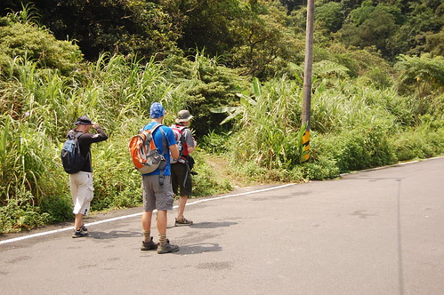
This a very short hike, maybe only ten minutes if you drive to the trail head but in the summer I'll take any opportunity to get wet and cool off! To get there follow the 106 from Taipei towards Shen Keng. Just before a Formosa petrol station, there is a betel nut stand on the right, this is where you need to turn right. Follow the signposts for the Paozilun trail 炮子崙.


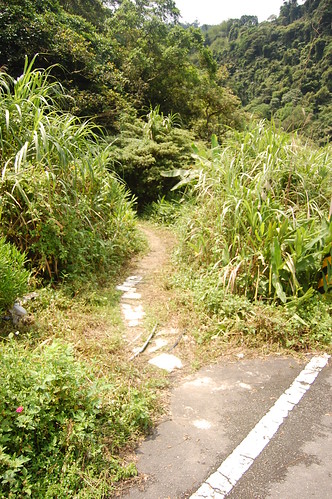
The beginning of the trail is not that easy to spot. Keep going up the road, ignore a turning over a small bridge to the right and keep you eyes peel for a trail on the left. There are no tags for it.


The trail is made of stone at the beginning but this quickly turns into sandbags so if you see lots of sandbags, you're probably on the right one!


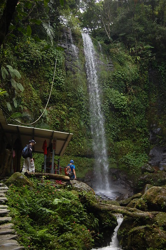
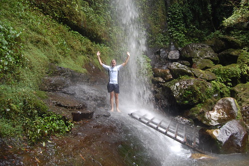
It's an easy if a little slippy walk to the waterfall. Just next to the falls, a shelter has been built with a changing room, shower, small cooking area..... etc. It doesn't really add to the beauty of the place but the locals seem to spend a lot of time there and want somewhere comfortable to pass the time.


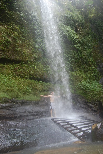
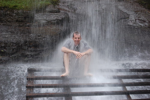
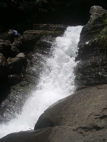
Below the waterfall there is an old wooden pallet which you can climb up to get up under the water. People come here to use the falls as a water massage jet. It's powerful and a few minutes under there is more then enough time!


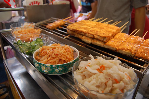
We spent a little while by the waterfall and then went back down to Shen Keng to wander around the old street. Shen Keng is famous for it's stinky tofu and I tried some again but it seems no matter how many times I eat it, I can never get used to the taste. Eating my socks after hiking for a day would be more pleasurable.


That said the old street at Shen Keng is full of all sorts of different foods and snacks and it's definitely worth a visit.

Practicalities

Bus number 236 goes from the Zoo to Shen Keng and takes about 15 minutes. It would probably be an extra 30 minutes to walk up the road to the trail head.

Lots of places to get water, food etc in Shen Keng.


View Larger Map

Sunday, 24 May 2009

Jia Jiu Liao - 加九寮


Wulai is such a great place. There are loads of hiking trails, waterfalls, the old street, free hotsprings and best of all 1km short of Wulai is Jia Jiu Liao - 加九寮.


We've been coming down here every summer for ages. Just next to the big red bridge there are some great swimming holes and it's a popular place for people to barbecue and swim. However the best thing you can do in this area is river tracing.


Normally when we come here, we follow the river and then take a hiking trail back to the start. However, this time we took the hiking trail first so that we could head further up the river and then trace it back down to the start.

To get there we drove on the Xinwu road 新烏路. There are lots of signs for Jia Jiu Liao but the last one, when you need to turn off, isn't that obvious. It's at the end of a small village called Chenggong 成功 on the right, drive slowly and keep your eyes peeled. If you take the bus from Xindian get off at the Chenggong stop 成功站.


At the bottom of the road there is a big red bridge. We crossed this, followed the road around the corner and then stopped just before a much smaller bridge. The trail starts to the left of the bridge.

The trail follows the river but from a height and it's always wet. At a sign, take the steps to the left up and then a take a right at the next fork. From here the trail is much rougher and in parts it gets quite narrow so care is needed.


Towards the end of the trail there is another split in the road. We headed straight and then steeply down around a rocky outcrop. The river is just below.

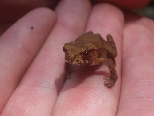
At the bottom we took a quick break and found this little fellow below. Hopefully he isn't poisonous!


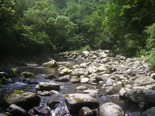
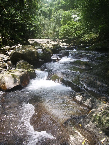
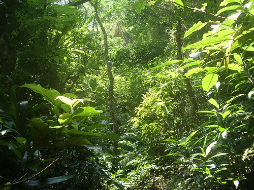
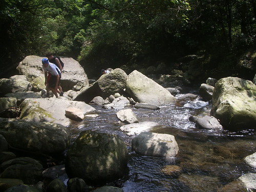
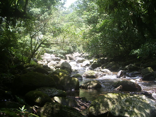
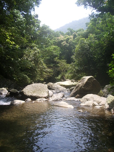
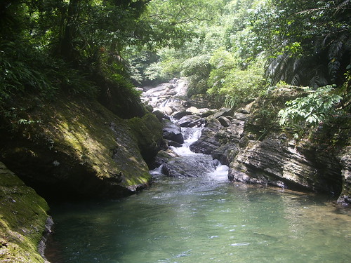
There are two branches to the river here and we went up the larger one. It's amazing just how beautiful this place is. The water is crystal clear and with the jungle surrounding you, it feels like you're in a Vietnam war movie!


We didn't really have a destination in mind for this. Instead we just traced up the river. At one point we thought about just heading back as we didn't seem to be getting anywhere but we didn't and we were rewarded for our perseverance with a fantastic waterfall.


We climbed over the waterfall but there wasn't much else and so we decided to trace back down the river. On the way back we bumped into a 60 year old guy who was there by himself. A complete loon! He was just like a little kid, scrambling over rocks, jumping into the pools. I can only hope that I'll be half as energetic as him when I'm that old!


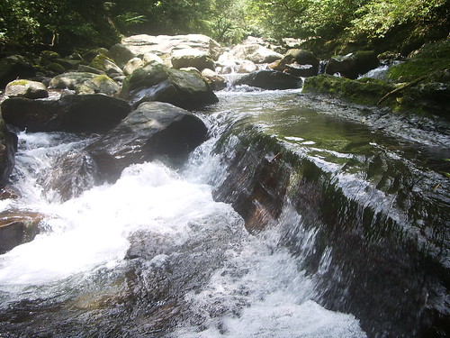
Just a little bit downstream from where we entered the river there is a fantastic natural slide. Often there are organised groups of rivertracers here but this time we were lucky and had it all to ourselves.


We stopped here to play for a while but then the heavens opened and so we had to get down the river fast. I had thought that the rain would swell the river but it didn't and so we had no problems going back.

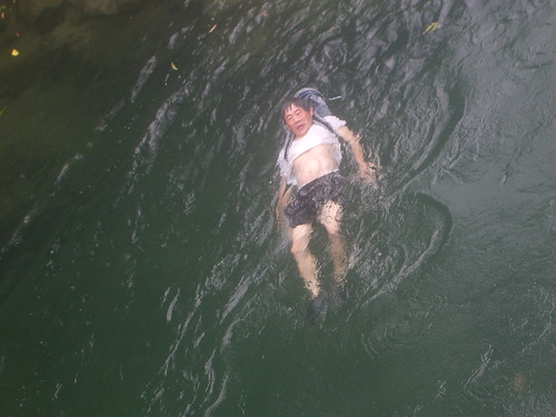
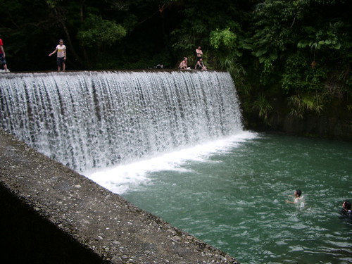
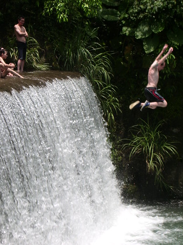
Towards the end of the river there are 2 artificial waterfalls. The one closest to the start is the biggest and has the deepest pool at the bottom. It's safe to jump in from the left hand side and as it had stopped raining, we spent some time just messing around.


To the right of the waterfall you can climb up and rejoin the original path. After getting back to the bikes we rode over to Wulai to relax in the springs by the river and watch the local kids doing back flips in to the water. A perfect day!


More pics here

Practicalities

River tracing shoes are essential. You can get them from just about any fishing shop for around 300-500NT. They're called "fáng huá xié" in Chinese 防滑鞋.

You can also take the bus out to Jia Jiu Liao from Xindian MRT. Bus routes can be found here.
Sunday, 17 May 2009

North ChaTian Mountain - 北插天山


North ChaTian Mountain 北插天山 is one of Northern Taiwan's most well known mid-range mountains. It is famous for the autumnal colours of leaves that aren't normally seen in Taiwan at lower elevations. However, it is also well known as a good place to practice and train for high mountain hikes.


North ChaTian Mountain stands at 1727m above sea-level, which isn't particularly high but it still feels like the high mountains in other parts of Taiwan. And the best thing is there's no altitude sickness and no long drive to get to the trail head! I've done many hikes around Taipei and while they are fantastic, nothing has compared to this one.


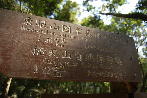
There are four main trials that lead to North ChaTian Mountain. You can start at Manyueyuan 滿月圓, Dongyuanshan 東眼山, Xiao Wulai 小烏來 or Fushan 福山. The easiest of which starts at Xiao Wulai, however we decided to begin the hike at Manyueyuan as we'd been there before and knew exactly where the trial began.


Getting to Manyuyuan without your own transport isn't easy. There is a bus that goes to Lelegu 樂樂谷 from Sanxia 三峽 but after that you need to walk 50mins just to get to Manyueyuan and considering the hike is 22km, the extra walk wouldn't be all that welcome. Perhaps a taxi from Sanxia or Yongning MRT would be best.


At Manyueyuan we met a guy selling hiking gear, including the Taiwanese favourite, wellington boots. He said he hikes North ChaTian Mountain every Sunday. I asked him if he wanted to climb anything else and he said no! Though after finishing it, I can understand why.


We entered Manyueyuan at 8.30, paid the entrance fee and followed the path towards the visitor centre where you can get some basic snacks and drinks. We continued on from there and then followed the stairs leading up to the right. The trail proper started where we met up with self-guided trial. From there, there are loads of signs and it's really easy to follow.


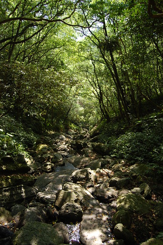
At the beginning the trail headed steeply up and then after half an hour or so it leveled out. This part was nice enough but it's forested and so there were no views. After a while we came to a landslide and from there we could see our destination. (I think!)


Continuing up we began realised just how popular this trail is. I would guess at least 300 people were up there and they were all very friendly! It's amazing to hear 70+ year olds telling you that you're "hao li hai" for climbing up the exact same mountain as them!

After about three hours of hiking, we arrived at a large tree. Just after this there was a small stream and a crowd of people cooking up lunch. A few minutes later and we got to where a wooden hut used to stand (the hut no longer exists as it was used by hikers for fire wood) and from here the real climbing began.


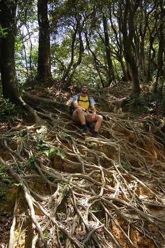
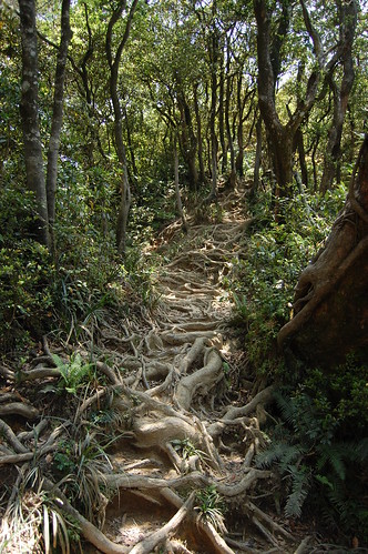
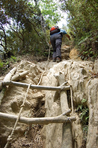
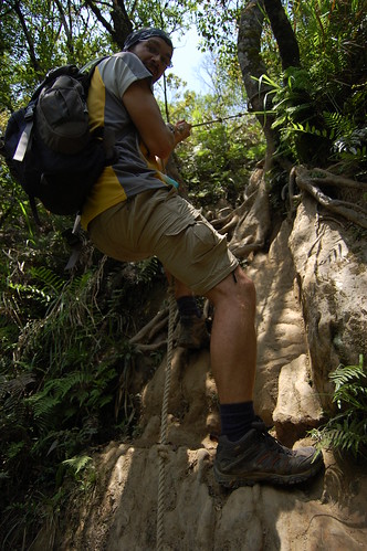
Crisscrossing the trail were the exposed roots of trees which makes for a strange sight. There were lots of roped sections and homemade ladders. In parts it was pretty slippy and, although I've seen blogs from when people climbed this in the rain, I should imagine that it's really difficult.


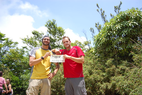
It took about four hours to reach the top. The view was good but it was a little bit cloudy and so we couldn't see much. We took a quick break and ate some lunch. Earlier on the trial we got talking to a guy who said that from the peak you could continue on to Duo ai shan 多崖山 and then return in a loop back to Manyueyuan. We decided to give it a go.


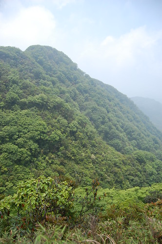
The trial round to Duo ai shan was great and included a vertical section to negotiate and it was definitely worth the effort. Once at the peak you are rewarded with 360 views of the surrounding mountains and valleys.


The trail then went steeply down and eventually passed through a beautiful forest of Chinese Cypresses. This section took about two hours to complete and by the time we met up with the trail at the landslide we saw earlier, we were exhausted! From there went back down to Manyueyuan to get well deserved ice-creams from the visitor centre. In all it took seven and a half hours and was very tiring but well worth it!

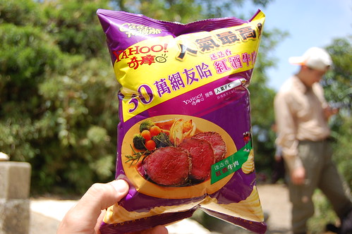
Just to illustrate the height; at the top my bag of crisps was almost ready to pop from the drop in pressure!

More photos here
My brother's Chinese version of the hike can be found here

Practicalities

Transport for those without a car or scooter is difficult. Try getting a taxi from Sanxia or Yongning MRT.

The visitor centre in Manyuyuan has snacks and drinks but for more substantial eating you need to bring your own.

It took us seven and a half hours and that was at quite a pace. From a lot of the blogs that I've seen, people often end up coming down the last parts in the dark and so it's best to have a torch and make an early start.