At long last, after a busy month for all of us, we've finally been able to sit down and put the finishing touches to our final video! The last stage of voting begins on the 1st of October and runs until the end of that month. After that it'll be a tense wait until the 15th of November, when the winners of the million dollar prize will be announced.
Hopefully by putting this together, we've been able to inspire more people to get out there and enjoy the best parts of Taiwan, it's moutains, rivers and jungles. And we'd all like to thank everyone for their continuing support especially all the people who helped us out all the way on the trip.
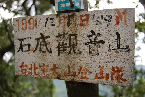
This is a tough, tough hike, especially in the heat of the summer. We decided to head here after reading Richard Saunder's article about the source of the Keelung river in the China Post. It sounded interesting and I found a map with a circular route we could follow up to the peak of Shidi Guan Yin Mountain 石底觀音山 and back down to the 106.
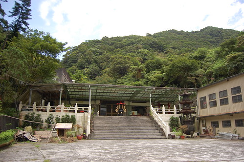
To get there we follow the 106 from Taipei towards Pingxi 平溪. After a while there is a hairpin bend with a small tunnel on the apex of the bend. Go past this and then through a small tunnel. After this, look on the left for a turn off that leads up to a temple. There's a sign in English and Chinese but you'll need the eyes of a hawk to spot it!
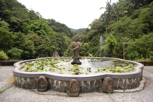
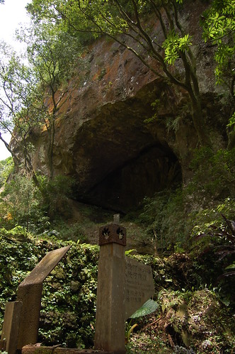
We drove up to the temple from the 106. The source of the Keelung river is to the left and behind the temple. It's a nice spot but a little underwhelming. We tried to find the trail up from the source but couldn't and so we headed back towards the temple.
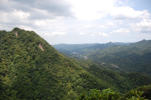
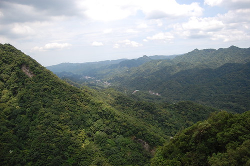
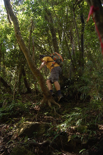
On the way down we noticed a bunch of hiking tags on the right hand side (don't know how we didn't spot them on the way up!) and this is the trail that Richard Saunders followed down so we headed up it. Man, it's steep! And definitely one for a dry day. After a sweaty, hour long climb we got to the peak which has some nice views of the surrounding valleys.
From here we headed down towards Er Kong Gui Mountain 耳空龜山. Then disaster struck!!!!! I stupidly didn't zip my camera up into the bag properly. It fell out of the bag and went tumbling down the mountain. Bugger. I climbed down after it and found the lens was destroyed. Still nothing could be done so we cracked on.
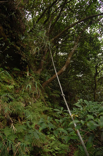
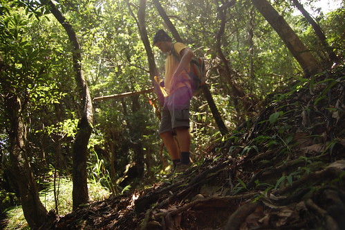
The trail down was really hard. Loads of ropes and near vertical sections. We walked for what seemed like ages but was actually only an hour before we got a fork in the trail. Hiking in the summer in Taiwan often feels like self inflicted punishment!
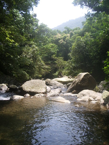
At the fork here we turned right and headed down towards the number one pit 一坑. We passed a large rock and then met up with a small stream. We followed this down, passing a couple of nice pools and eventually came out onto the 106.
On the opposite side of the road there's a small cafe and so we stopped for some mango shaved ice before following the road back to the temple.
Practicalities
The climbing on this trail in pretty hard. Take care and don't do it in the rain.
There's nowhere for food or water and so you need to bring it.
There are buses that run from Mucha out to Pingxi but I don't know if they stop near the turn off the Yuanming Zen Temple圓明禪寺.
A rough map of the area can be found here at Tony Huang's blog.
Wulai is such a great place. There are loads of hiking trails, waterfalls, the old street, free hotsprings and best of all 1km short of Wulai is Jia Jiu Liao - 加九寮.
We've been coming down here every summer for ages. Just next to the big red bridge there are some great swimming holes and it's a popular place for people to barbecue and swim. However the best thing you can do in this area is river tracing.
Normally when we come here, we follow the river and then take a hiking trail back to the start. However, this time we took the hiking trail first so that we could head further up the river and then trace it back down to the start.
To get there we drove on the Xinwu road 新烏路. There are lots of signs for Jia Jiu Liao but the last one, when you need to turn off, isn't that obvious. It's at the end of a small village called Chenggong 成功 on the right, drive slowly and keep your eyes peeled. If you take the bus from Xindian get off at the Chenggong stop 成功站.
At the bottom of the road there is a big red bridge. We crossed this, followed the road around the corner and then stopped just before a much smaller bridge. The trail starts to the left of the bridge.
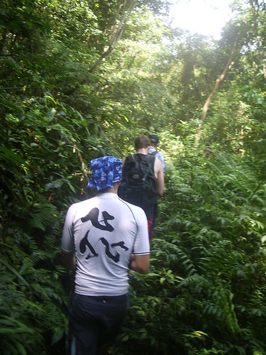
The trail follows the river but from a height and it's always wet. At a sign, take the steps to the left up and then a take a right at the next fork. From here the trail is much rougher and in parts it gets quite narrow so care is needed.
Towards the end of the trail there is another split in the road. We headed straight and then steeply down around a rocky outcrop. The river is just below.
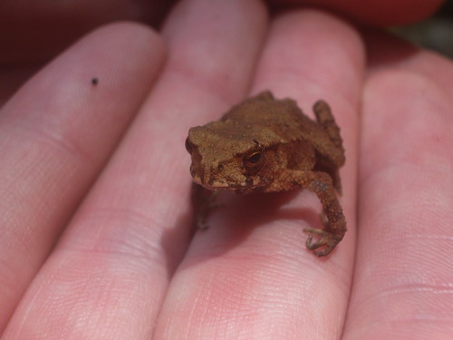
At the bottom we took a quick break and found this little fellow below. Hopefully he isn't poisonous!
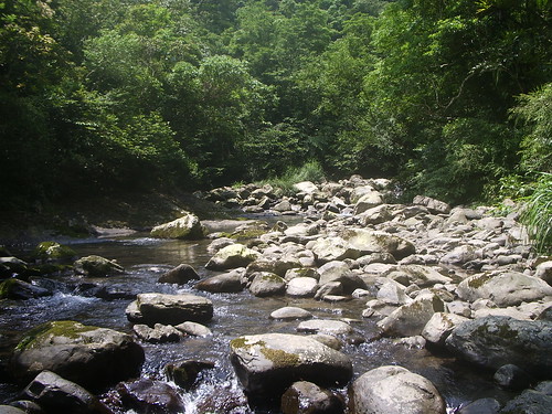
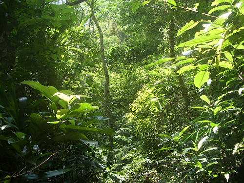
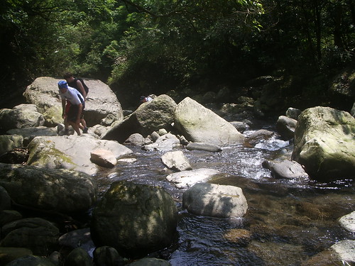
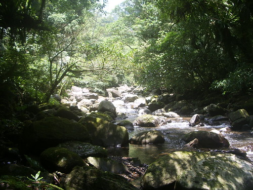
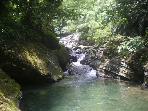
There are two branches to the river here and we went up the larger one. It's amazing just how beautiful this place is. The water is crystal clear and with the jungle surrounding you, it feels like you're in a Vietnam war movie!
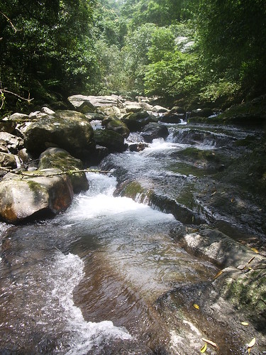
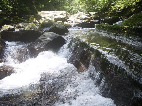
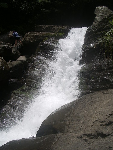
We didn't really have a destination in mind for this. Instead we just traced up the river. At one point we thought about just heading back as we didn't seem to be getting anywhere but we didn't and we were rewarded for our perseverance with a fantastic waterfall.
We climbed over the waterfall but there wasn't much else and so we decided to trace back down the river. On the way back we bumped into a 60 year old guy who was there by himself. A complete loon! He was just like a little kid, scrambling over rocks, jumping into the pools. I can only hope that I'll be half as energetic as him when I'm that old!
Just a little bit downstream from where we entered the river there is a fantastic natural slide. Often there are organised groups of rivertracers here but this time we were lucky and had it all to ourselves.
We stopped here to play for a while but then the heavens opened and so we had to get down the river fast. I had thought that the rain would swell the river but it didn't and so we had no problems going back.
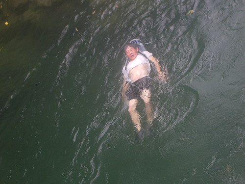
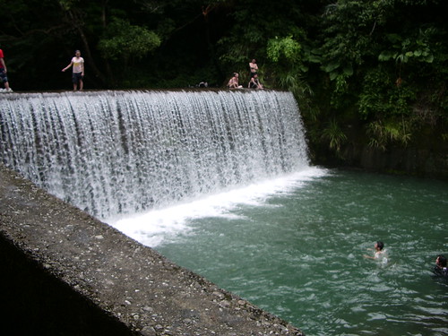
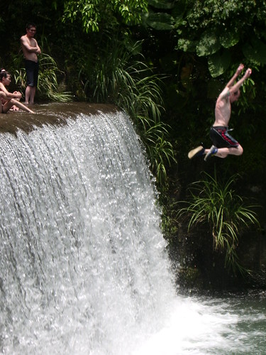
Towards the end of the river there are 2 artificial waterfalls. The one closest to the start is the biggest and has the deepest pool at the bottom. It's safe to jump in from the left hand side and as it had stopped raining, we spent some time just messing around.
To the right of the waterfall you can climb up and rejoin the original path. After getting back to the bikes we rode over to Wulai to relax in the springs by the river and watch the local kids doing back flips in to the water. A perfect day!
River tracing shoes are essential. You can get them from just about any fishing shop for around 300-500NT. They're called "fáng huá xié" in Chinese 防滑鞋.
You can also take the bus out to Jia Jiu Liao from Xindian MRT. Bus routes can be found here.
I originally came to Taiwan, like so many people, with the idea that I would have a bit of fun, teach English and then 6 months down the line I'd be off.. it's been 4 years now and I'm still here! Before coming to Taiwan, I never really had much interest in hiking but now it has developed into a bit of an obsession. I'm not at the moment entirely sure what i plan to do with this blog other than keep track of all the places i visit and perhaps give other people ideas for places to go to. Any comments, queries, ideas are more than welcome!