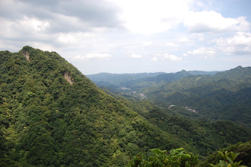
Monday, 6 July 2009

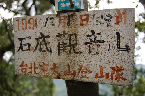
Shidi Guan Yin Mountain 石底觀音山

This is a tough, tough hike, especially in the heat of the summer. We decided to head here after reading Richard Saunder's article about the source of the Keelung river in the China Post. It sounded interesting and I found a map with a circular route we could follow up to the peak of Shidi Guan Yin Mountain 石底觀音山 and back down to the 106.

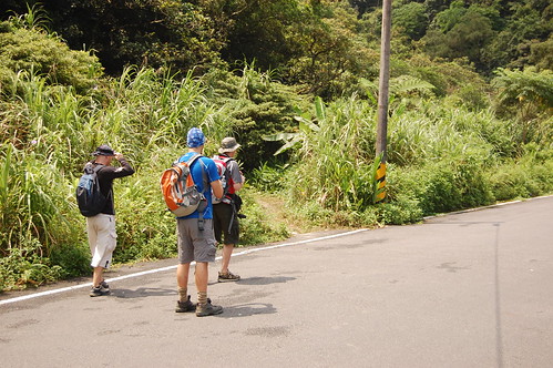
To get there we follow the 106 from Taipei towards Pingxi 平溪. After a while there is a hairpin bend with a small tunnel on the apex of the bend. Go past this and then through a small tunnel. After this, look on the left for a turn off that leads up to a temple. There's a sign in English and Chinese but you'll need the eyes of a hawk to spot it!
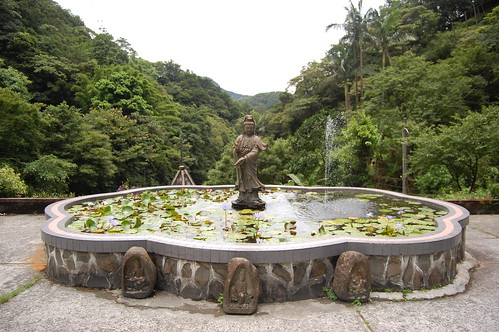
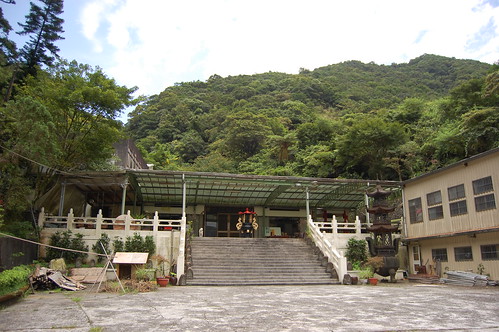

We drove up to the temple from the 106. The source of the Keelung river is to the left and behind the temple. It's a nice spot but a little underwhelming. We tried to find the trail up from the source but couldn't and so we headed back towards the temple.

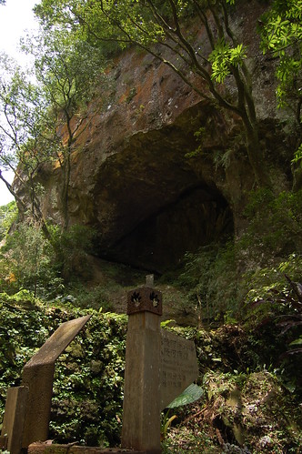
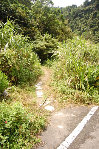
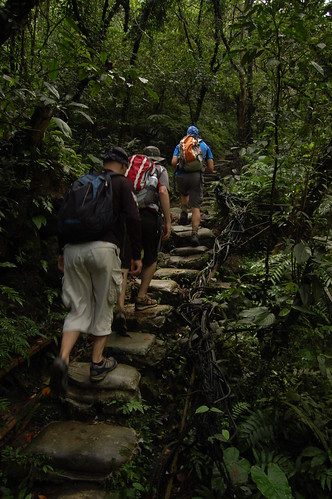
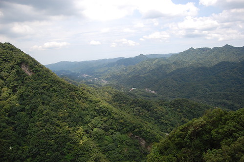
On the way down we noticed a bunch of hiking tags on the right hand side (don't know how we didn't spot them on the way up!) and this is the trail that Richard Saunders followed down so we headed up it. Man, it's steep! And definitely one for a dry day. After a sweaty, hour long climb we got to the peak which has some nice views of the surrounding valleys.
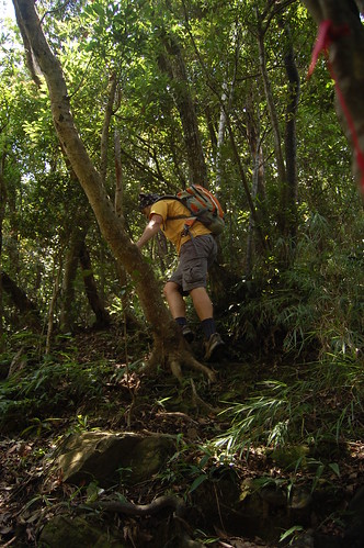

From here we headed down towards Er Kong Gui Mountain 耳空龜山. Then disaster struck!!!!! I stupidly didn't zip my camera up into the bag properly. It fell out of the bag and went tumbling down the mountain. Bugger. I climbed down after it and found the lens was destroyed. Still nothing could be done so we cracked on.
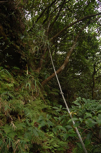

The trail down was really hard. Loads of ropes and near vertical sections. We walked for what seemed like ages but was actually only an hour before we got a fork in the trail. Hiking in the summer in Taiwan often feels like self inflicted punishment!

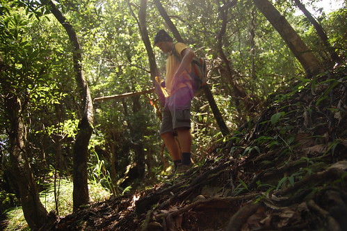

At the fork here we turned right and headed down towards the number one pit 一坑. We passed a large rock and then met up with a small stream. We followed this down, passing a couple of nice pools and eventually came out onto the 106.


On the opposite side of the road there's a small cafe and so we stopped for some mango shaved ice before following the road back to the temple.

Practicalities

The climbing on this trail in pretty hard. Take care and don't do it in the rain.

There's nowhere for food or water and so you need to bring it.

There are buses that run from Mucha out to Pingxi but I don't know if they stop near the turn off the Yuanming Zen Temple 圓明禪寺.

A rough map of the area can be found here at Tony Huang's blog.


View Larger Map

Sunday, 28 June 2009

Silong Waterfall - 四龍瀑布


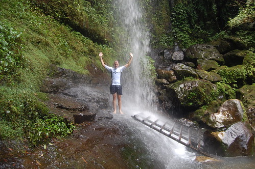
This a very short hike, maybe only ten minutes if you drive to the trail head but in the summer I'll take any opportunity to get wet and cool off! To get there follow the 106 from Taipei towards Shen Keng. Just before a Formosa petrol station, there is a betel nut stand on the right, this is where you need to turn right. Follow the signposts for the Paozilun trail 炮子崙.


The beginning of the trail is not that easy to spot. Keep going up the road, ignore a turning over a small bridge to the right and keep you eyes peel for a trail on the left. There are no tags for it.


The trail is made of stone at the beginning but this quickly turns into sandbags so if you see lots of sandbags, you're probably on the right one!


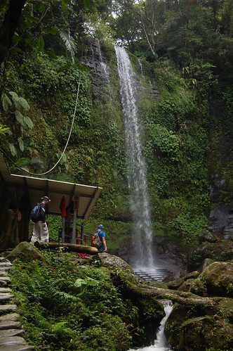
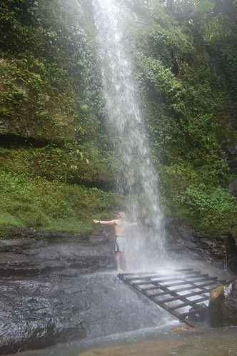
It's an easy if a little slippy walk to the waterfall. Just next to the falls, a shelter has been built with a changing room, shower, small cooking area..... etc. It doesn't really add to the beauty of the place but the locals seem to spend a lot of time there and want somewhere comfortable to pass the time.


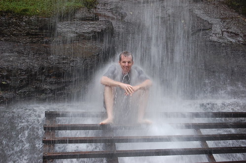
Below the waterfall there is an old wooden pallet which you can climb up to get up under the water. People come here to use the falls as a water massage jet. It's powerful and a few minutes under there is more then enough time!


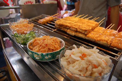
We spent a little while by the waterfall and then went back down to Shen Keng to wander around the old street. Shen Keng is famous for it's stinky tofu and I tried some again but it seems no matter how many times I eat it, I can never get used to the taste. Eating my socks after hiking for a day would be more pleasurable.


That said the old street at Shen Keng is full of all sorts of different foods and snacks and it's definitely worth a visit.

Practicalities

Bus number 236 goes from the Zoo to Shen Keng and takes about 15 minutes. It would probably be an extra 30 minutes to walk up the road to the trail head.

Lots of places to get water, food etc in Shen Keng.


View Larger Map

Tuesday, 16 June 2009

Formosa Adventurers

I blogged earlier last week about Taiwan's best trip in the world competition and after a crazy weekend of filming and running around the hills surrounding Taipei, we've finally got our group video up! We would very much appreciate your support and if you'd like to vote for us you can check out this link Formosa Adventurers - Thanks!!


About us

We're all long term residents of Taiwan who have a great passion for traveling around this fantastic island we call home. We genuinely feel that Taiwan is a wonderful place to visit and live and we hope we can have the opportunity to promote Taiwan to the rest of the world. Between us we have four blogs and you can visit them by following the links below.

Phil - Taiwan Travel Diary
Neil - Neil Wade's Photography Blog and Neil Wade's Website
Stu - Hiking Taiwan - the one you're looking at now!

Saturday, 13 June 2009

Ba Dao Er Mountain - 拔刀爾山


I'm not sure how to translate the name of this mountain, maybe "pull out knife mountain".... perhaps the name is a transliteration of the aboriginal name! Anyway this is nice, relatively short hike near my favourite place in Taiwan, Wulai 烏來.


To get there, drive along the Xinwu road 新烏公路 to Wulai but instead of continuing into Wulai, turn right over the red bridge and then up the mountain. At a family mart (i think it's a family mart... some kind of convenience store) turn right and keep going up.


The views on the way up here are great. You can even see Taipei 101 and there are loads of viewing platforms to stop at. About 10 minutes after turning right you get to the Bao Qing Temple 保慶宮 and this is where the trail starts.


The trail initially follows a concrete path for about 100m, then to the right there are some tags and this is where the proper trail really starts.


It's pretty steep going and in parts there are fixed ropes but even with the ground soaking wet it wasn't too difficult. And after perhaps 30mins we reached the first peak Meilu Mountain 美鹿山 (850m). There's no view here so after a quick break, we cracked on.


There are several side paths and so it's a good idea to make sure you know the characters for Ba Dao Er Shan 拔刀爾山 otherwise getting lost might be a real possibility.


On the way we passed several camping spots that look as though they are used by the local aborigines and after a while we came to this small run off stream. Very slippy!


For most of the trail we hadn't run into anyone and I had even said that we were probably the only people up there, but suddenly a group of about 25 people came down saying that we were almost there.


For the entire trail we were in the forest but just as we got to the peak the trees opened up and we got some nice views. Were it not for the clouds, the view would have been even better.


After some food we headed down and altogether it took us about three and a half hours. On the back to Taipei we stopped at an aboriginal restaurant and although the barking deer and flying squirrel were tempting, the price put us off a bit and we just ate some pork instead.


More photos and Phil's Chinese blog

Practicalities

Wulai can be reached by bus from Xindian MRT, however we started the trail up the mountain and you really need you're own transport for this.

Water and stuff can be bought in Wulai or at the family mart on the way.

The trail is slippy but there's nothing scary or difficult about it.

Friday, 12 June 2009

The Best Trip in the World


Following the success of Australia's "best job in the world" competition, the Taiwan tourism bureau has decided to create a similar competition.

The preliminary round involves coming up with a four day plan to travel around Taiwan. Team's have to make a video introducing themselves and then put that on the net. Each team is judged upon the feasibility of the plan and their popularity amongst other web users.

From all the teams entered, fifty will be chosen to actually do their trips and each will receive $28,000NT for their troubles!! Anyone wanting enter should have a look here

Three friends and I have put together a team. We're called the "Formosan Adventurers". We're all long term residents of Taiwan and love traveling and exploring this great island. We have a few blogs between us.... this one you're reading, Phil's Chinese site and Neil's travel and photography site. All of us have traveled extensively around the island and love it's natural beauty and we really hope that this competition can help promote Taiwan to the rest of the world.

We'd really appreciate everyone's support and you can vote for us by visiting

Formosan Adverturers

Thanks!!!!!